
We are problem solvers
Areas of intervention
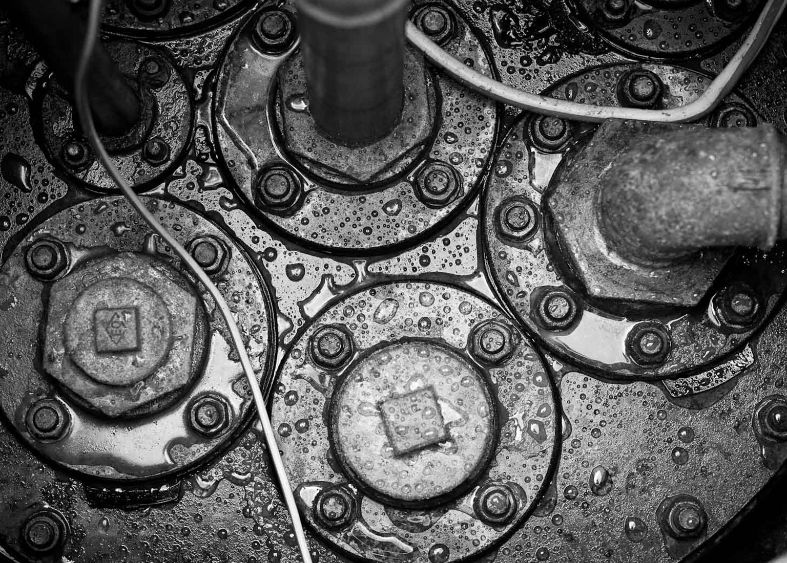
Oil industry
We design and manage the implementation of road systems for fuel distribution, taking care of all the bureaucratic and authorisation aspects and keeping the operating process efficient in compliance with mandatory legislation, through dedicated and customised databases for precise and scheduled maintenance activities.
Retail
We support retail customers in all phases of implementation of the works in order to optimise investments and ensure their management in an efficient and sustainable manner over time.
Civil Engineering
Thanks to a multidisciplinary vision of the project, we contribute to the management of the complexities of all works in the urban context, in both public and private building works.
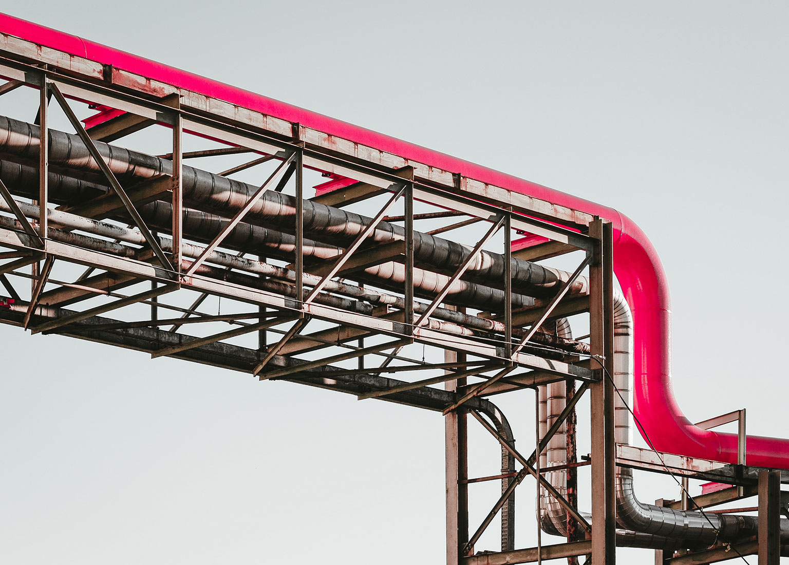
Industrial Engineering
We take care of the design and project management of industrial areas and plants, using cutting-edge technologies in the management of infrastructures, whether in steel or reinforced concrete, carrying out an assessment of their state of repair and statics, proposing upgrade projects to keep the works constantly efficient.
Environment
We work in the environmental field with due diligence, risk analysis, characterisation and remediation plan and environmental permitting services.
“Working well and on time is our mission”.
Technology at the service of the project
We have invested in know-how and specific knowledge in the technological field in order to be able to offer cutting-edge design and operating solutions, in line with the most advanced industry standards.
Bim Technology
This is a digital design methodology that allows the inclusion of specific information on every individual constituent element of the construction: geometries, materials, structure, costs, safety, maintenance, life cycle of the work, demolition and decommissioning.
BIM design therefore makes it possible to digitally evaluate all the structural and functional aspects of each project before its implementation and to effectively coordinate the interventions of all the designers involved. It therefore represents a guarantee of high design standards and adequate cost control over time.
Ask for info

Vantaggi
- Acquisition and easy consultation of the information of each individual element of the project
- Creation of a repository of information on the building and speed of developing variants
- Multidisciplinary approach to design, thanks to the coordinated and simultaneous intervention of different and complementary professionals on the project
- Immediate verification of design interferences or modelling imperfections
- Control of implementation and maintenance costs
Supporting technologies
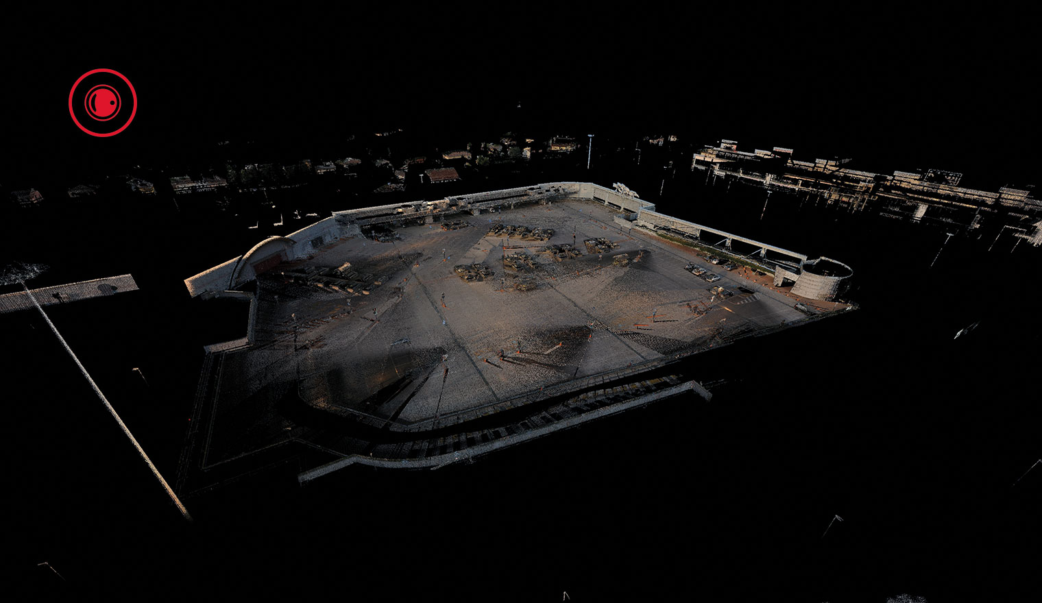
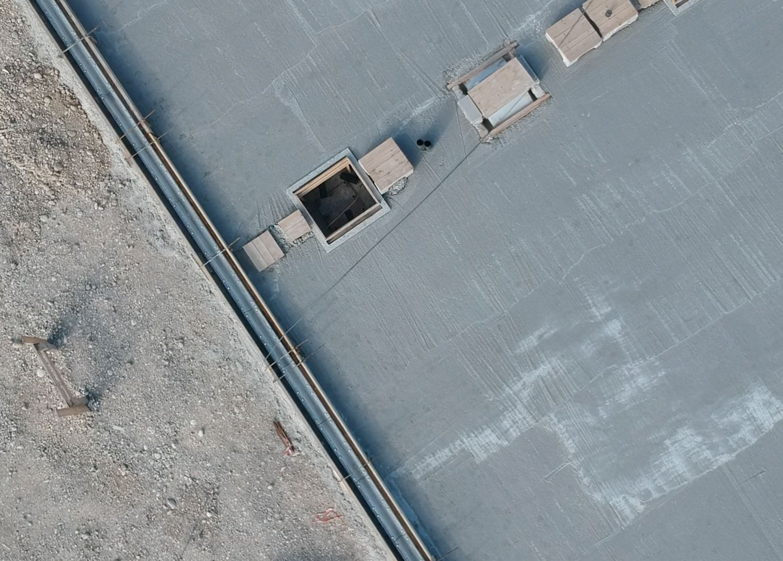
LASER SCANNER
The laser scanner is a 3D survey system, capable of recording an enormous amount of information in units of time: the data collected can be processed to support design through dedicated software products or catalogued to create information databases.
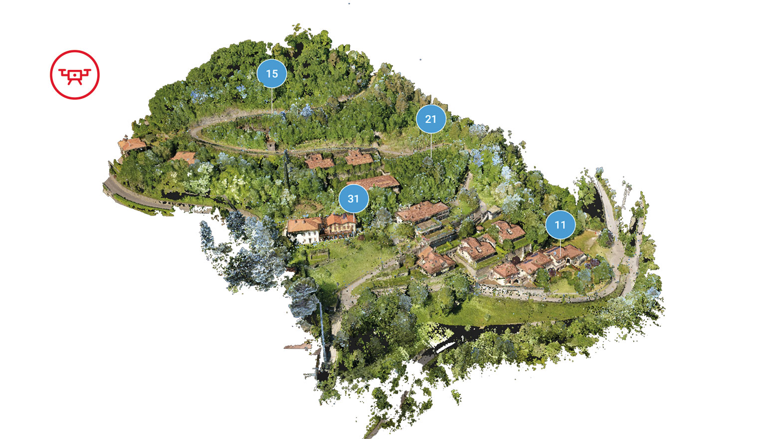
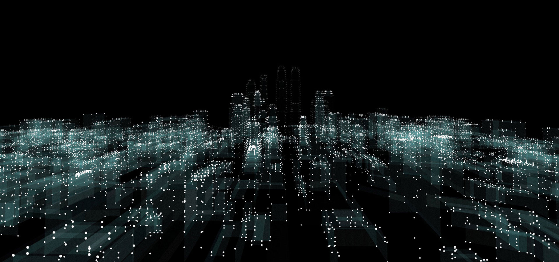
DRONE SURVEYS
Mapping from above, even of areas that are difficult to reach, allows the creation of complex three-dimensional, multifunctional and high resolution maps, containing important information for the management, planning and safety of the land and the investment that will be made on it.